Showing 1–24 of 972 results
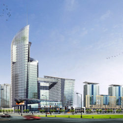

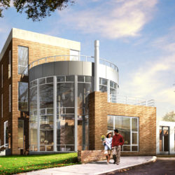
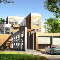
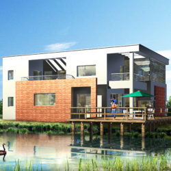

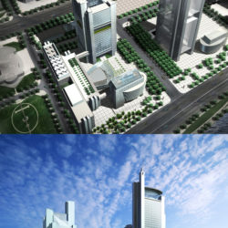
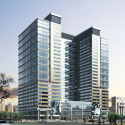
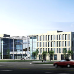

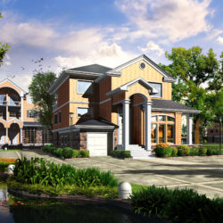


3D city models are 3D models of territories that consist of surfaces, structures, vegetation, infrastructure and landscape components and also related objects (trees, benches, lights etc.). Their segments are represented by two-dimensional and three-dimensional data and geo-referenced information.
The appearance of 3D-models and city plans is closely connected with the development of geoinformation technologies (GIS), with the help of GIS the obtained panoramas of the territories have high accuracy and they are bind to real geographic coordinates. Data is actively being collected to create 3D geoinformation systems, and we believe that this way of storing data is the future.
The basic ways of constructing volumetric drawings of the urban space and other territories are divided into the following types:
Interesting, that for automatic type In addition to special computer programs (like, for example Maya, 3ds Max) digital cameras like Pictometry or Geosystem 3-OC-1 are required, as well as an airplane for aerial photography. The advantages of this technology are the high speed of creation and that such city models are very photorealistic.
Usually to store City 3D models file-based and database approaches are used. You will meet such file formats as .3DS, .OBJ. It’s easy to use such town 3D models as any other models.
You can use them for games, advertising, animation, computer graphics and 3D visualization.
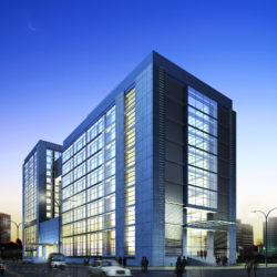
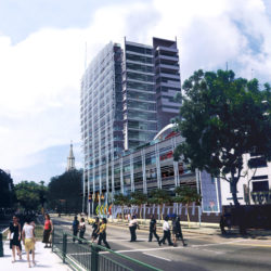
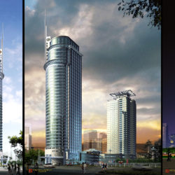
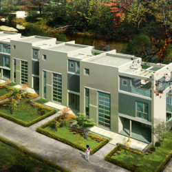
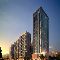
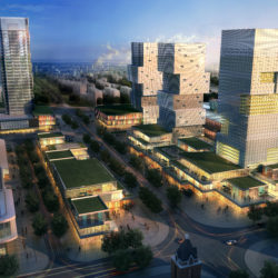
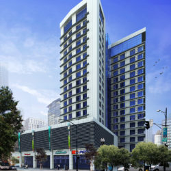
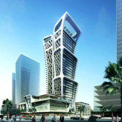
On FlatPyramid you will find 3D models of famous towns like Paris, New York and Manhattan or London or, even, of generic cities.